SWOT records water height and width to help examine stretches of river between ground stations.
Article
From a bridge, it is possible to judge roughly whether a river is wider than before. Knowing how much its level has risen, or whether the change extends upstream and downstream, requires other observations. SWOT, an international mission involving the United States and France, observes rivers, lakes, and oceans from space.
NASA’s river products provide water-surface height and width for observed sections. The two values tell different stories. Where banks are steep, the level can rise with little change in width; along flatter banks, water may spread farther. Height supplies information that width alone cannot reveal.
The satellite’s radar sends signals toward the water and measures their return. SWOT’s instrument is designed to make such measurements across a broad swath. Mapping the results shows where water was identified and its surface height. Even along one river, a small pool beside the bank must be distinguished from the main channel to interpret width correctly.
Width and height do not by themselves directly reveal how fast the water is flowing. Discharge also depends on velocity and the cross-section through which water moves. In NASA’s river products, width and surface height are observation-based measurements, while discharge is estimated by combining information. Keeping those types of values distinct makes their meaning clearer.
Looking along several sections of a river also reveals differences in elevation. Ground stations can describe changes through time in detail, while a satellite helps show how far a change extends at a broadly similar time. Together, the observations reveal connections invisible from a single bridge.
Because the satellite returns at intervals, it does not provide a real-time view of every river. Combining observations from multiple sections nevertheless offers a picture that one station cannot supply. Changes familiar from the bridge can be examined as a local event or part of a longer stretch of river.
Sources and editorial notes
swot.jpl.nasa.gov · Official source
www.jpl.nasa.gov · Official source
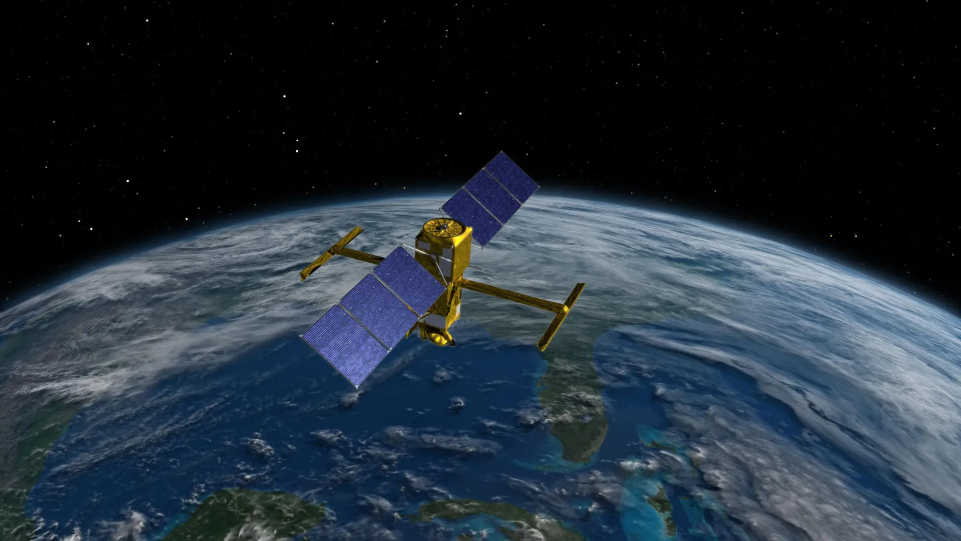
Editorial note: Factual statements are based on the sources above; interpretations reflect MUADAILY’s editorial perspective. Image: NASA/JPL-Caltech · Artist’s concept of SWOT.
Photograph / image source
NASA/JPL-Caltech · Artist’s concept of SWOT
Image description: Official artist’s concept of the SWOT satellite above Earth
Usage terms: https://www.jpl.nasa.gov/jpl-image-use-policy/
Original aspect ratio preserved; resized and reformatted for web display
Machine-translated from Korean. Read the original.